
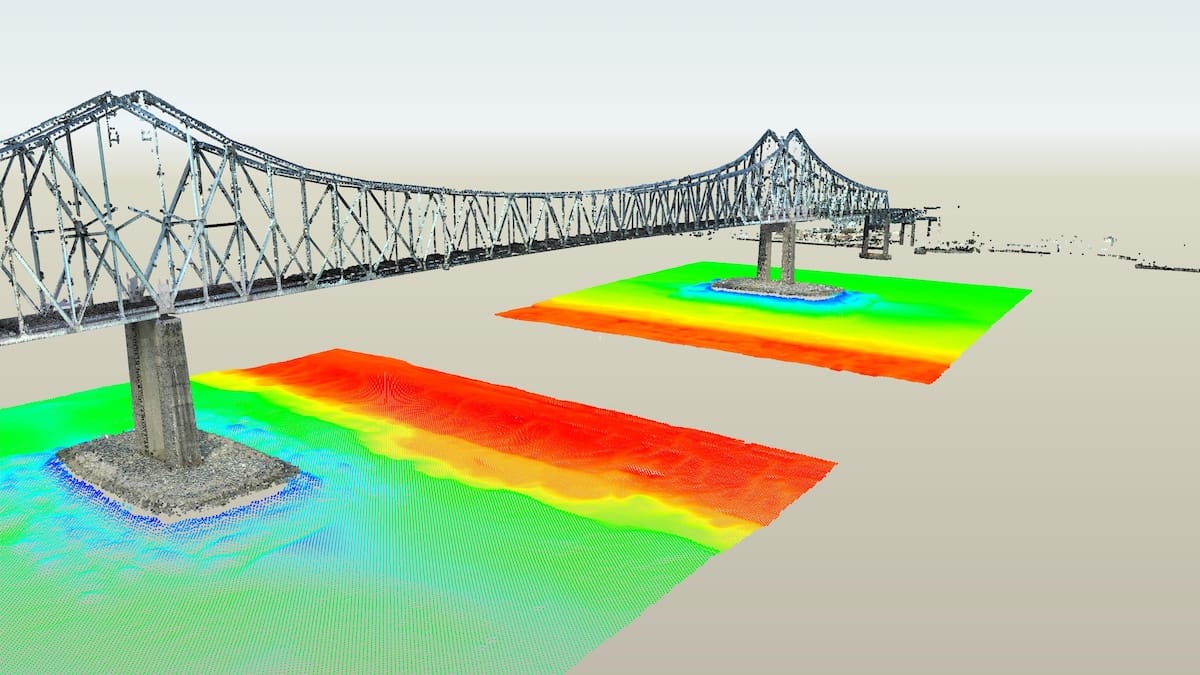

Delaware River and Bay Authority
Delaware Memorial Bridge Ship Collision Fender System
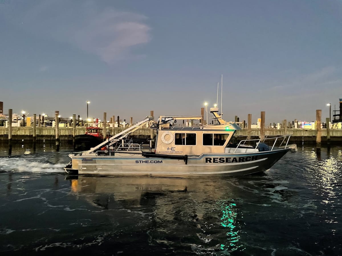
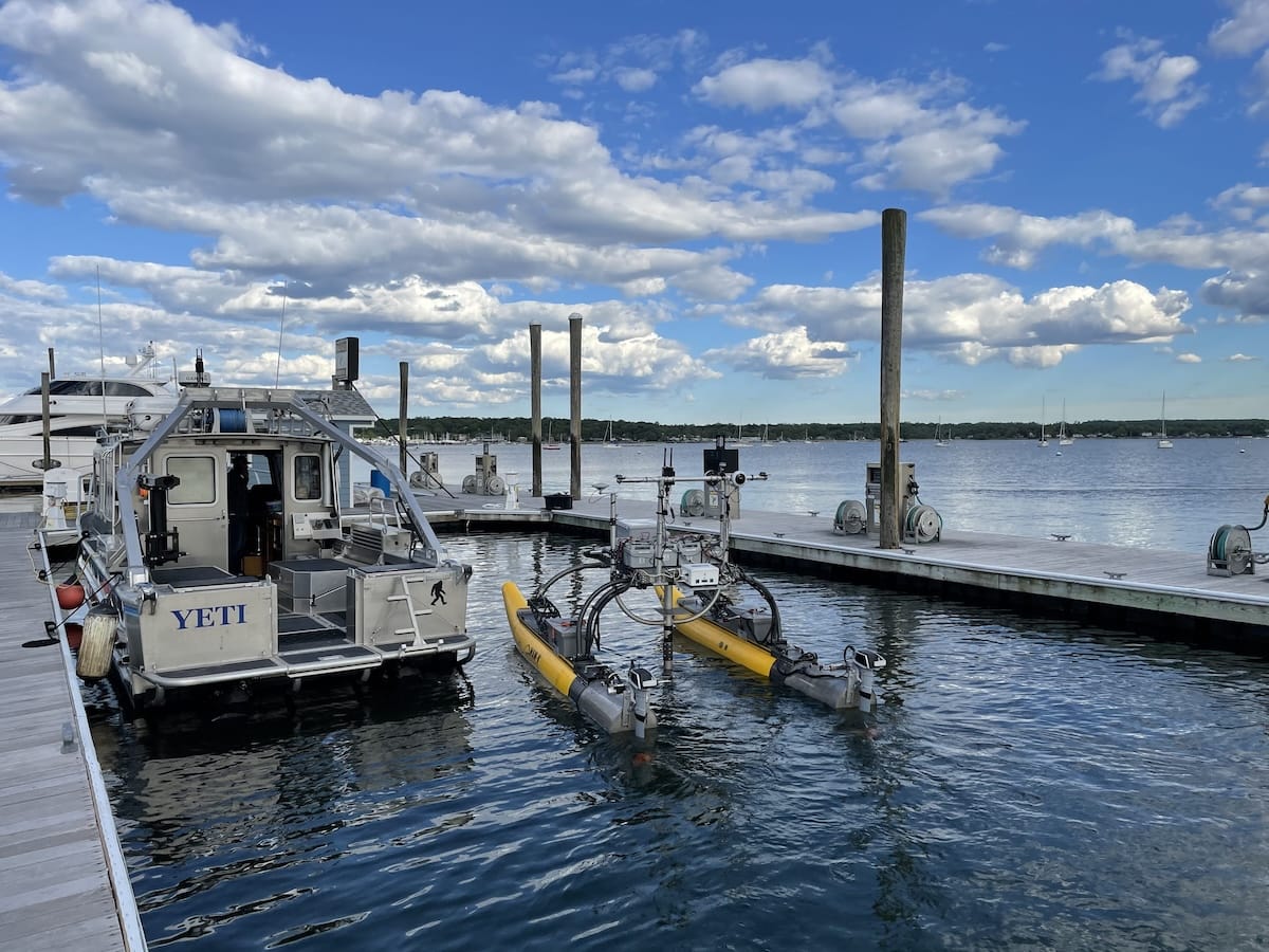
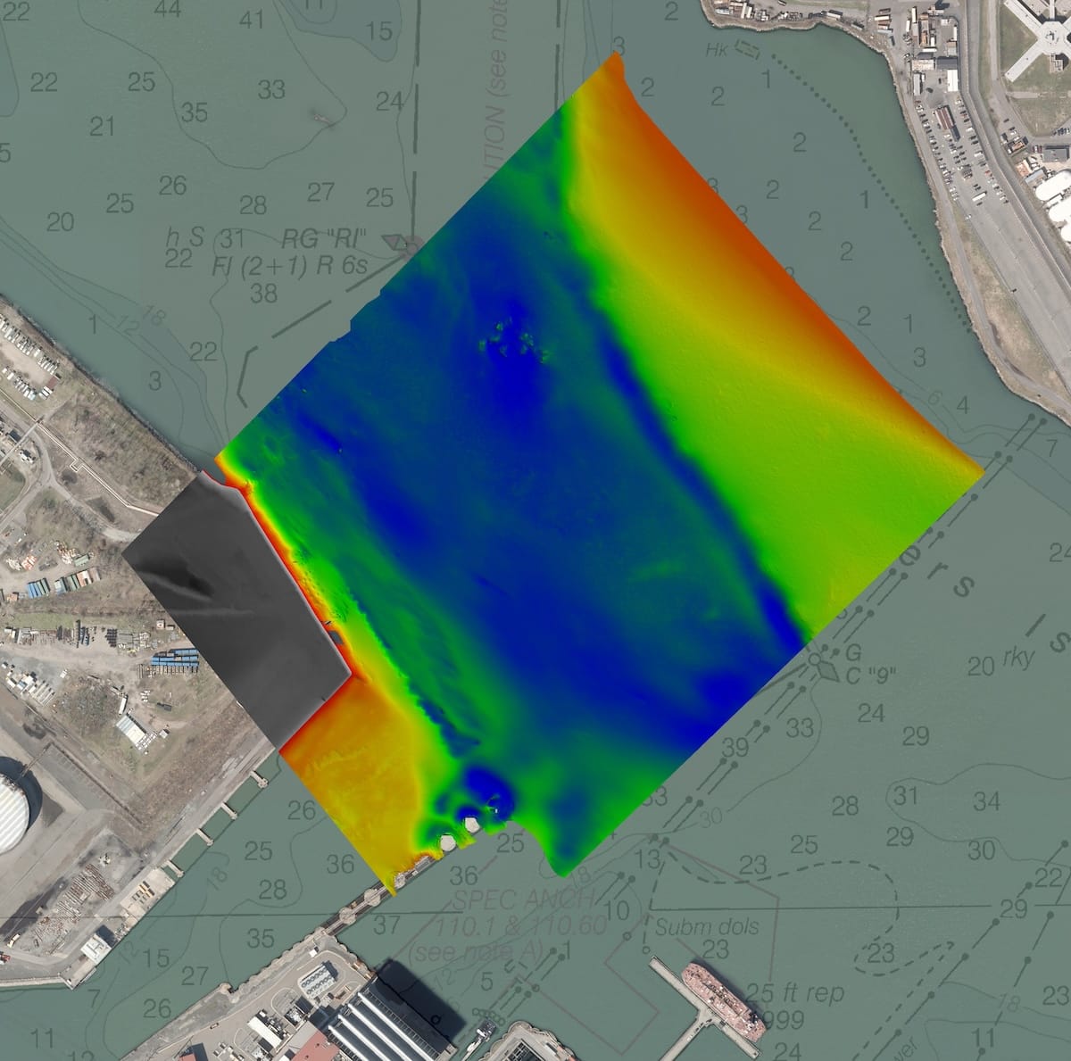
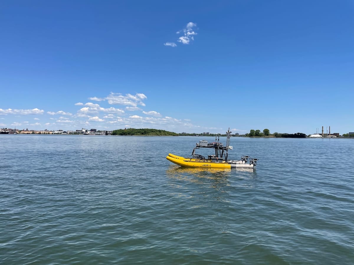
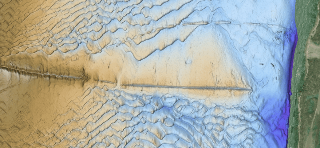
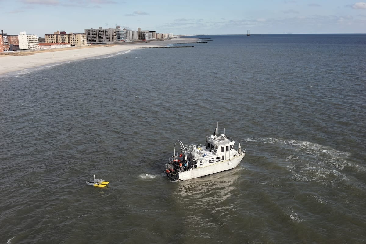
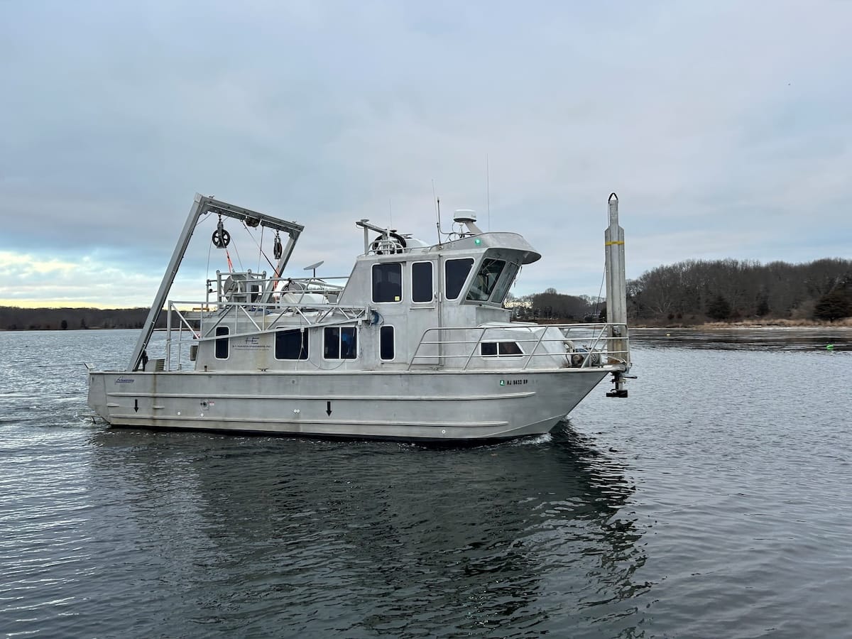
Our diverse geosciences team includes geophysicists, hydrographers, geotechnical engineers, licensed PEs and RPLS surveyors that deliver relevant and valuable geophysical data about your assets and projects sites.