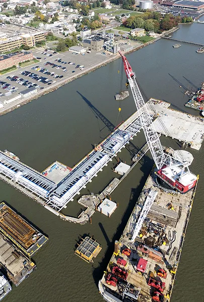
Delaware River and Bay Authority
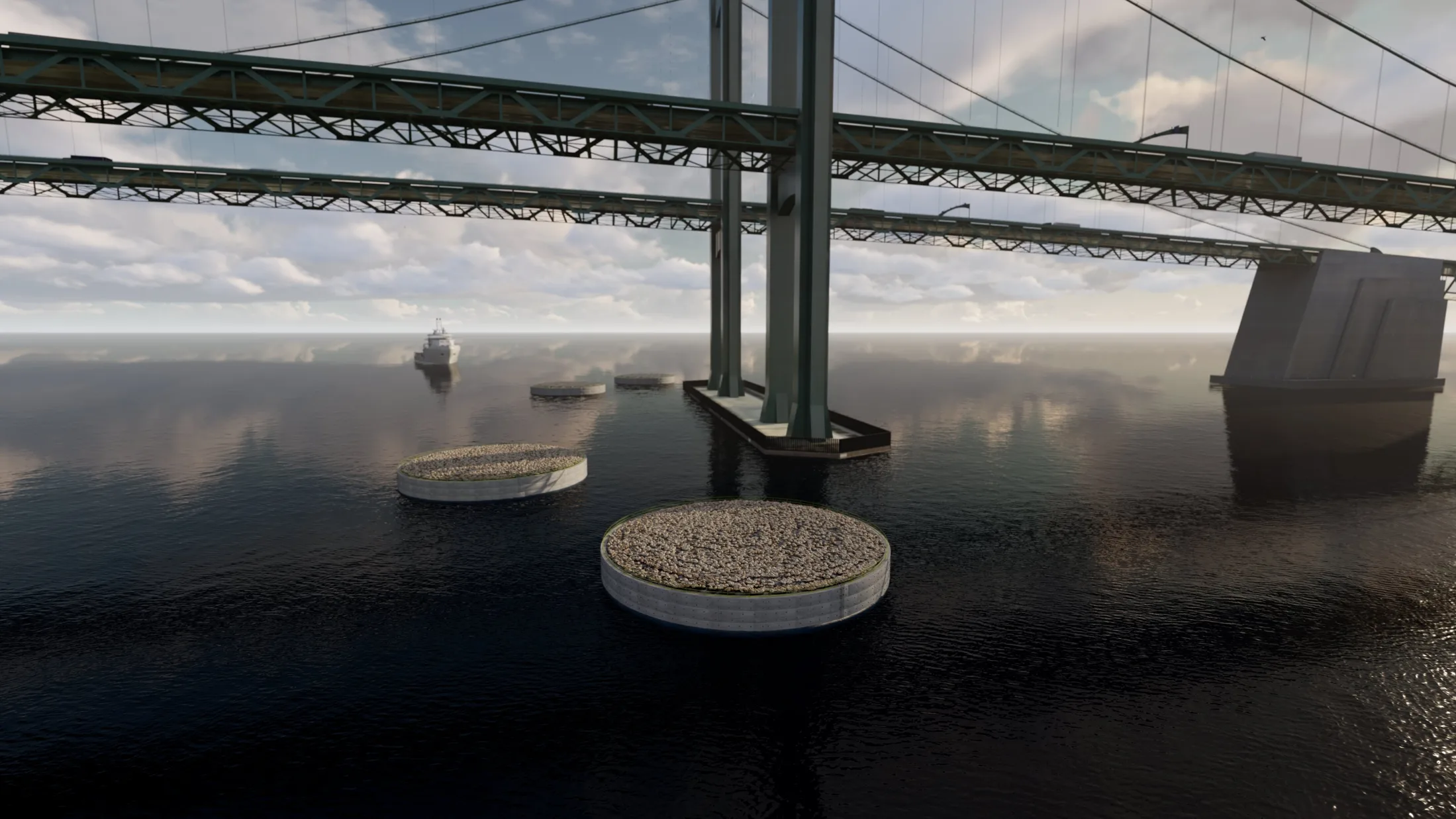
Delaware Memorial Bridge Ship Collision Fender System
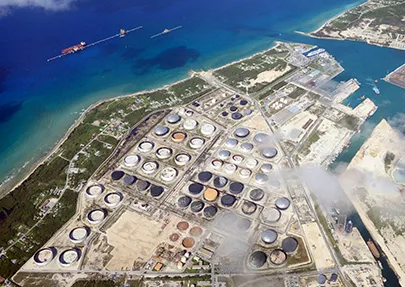
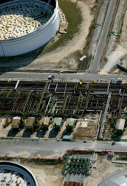
In many industrial sites, getting accurate inspections of difficult-to-access areas can be dangerous and costly. UAV drone surveys give you a clear and comprehensive look so you can assess the condition of dredge disposal sites or marine facilities and terminals with precision and ease.
Drones are becoming an increasingly important tool, transforming the way we capture information in and around industrial sites. UAV or drone surveys allow us to quickly and safely gather a detailed overview of your project. Using the images and data captured by the drone, we are able to produce 2D and 3D modeling as well as an orthomosaic map, which uses multiple geometrically-corrected images to give you the most precise and detailed view. In addition, we can create point clouds from the measured data points to give you a highly-accurate depiction of the site.
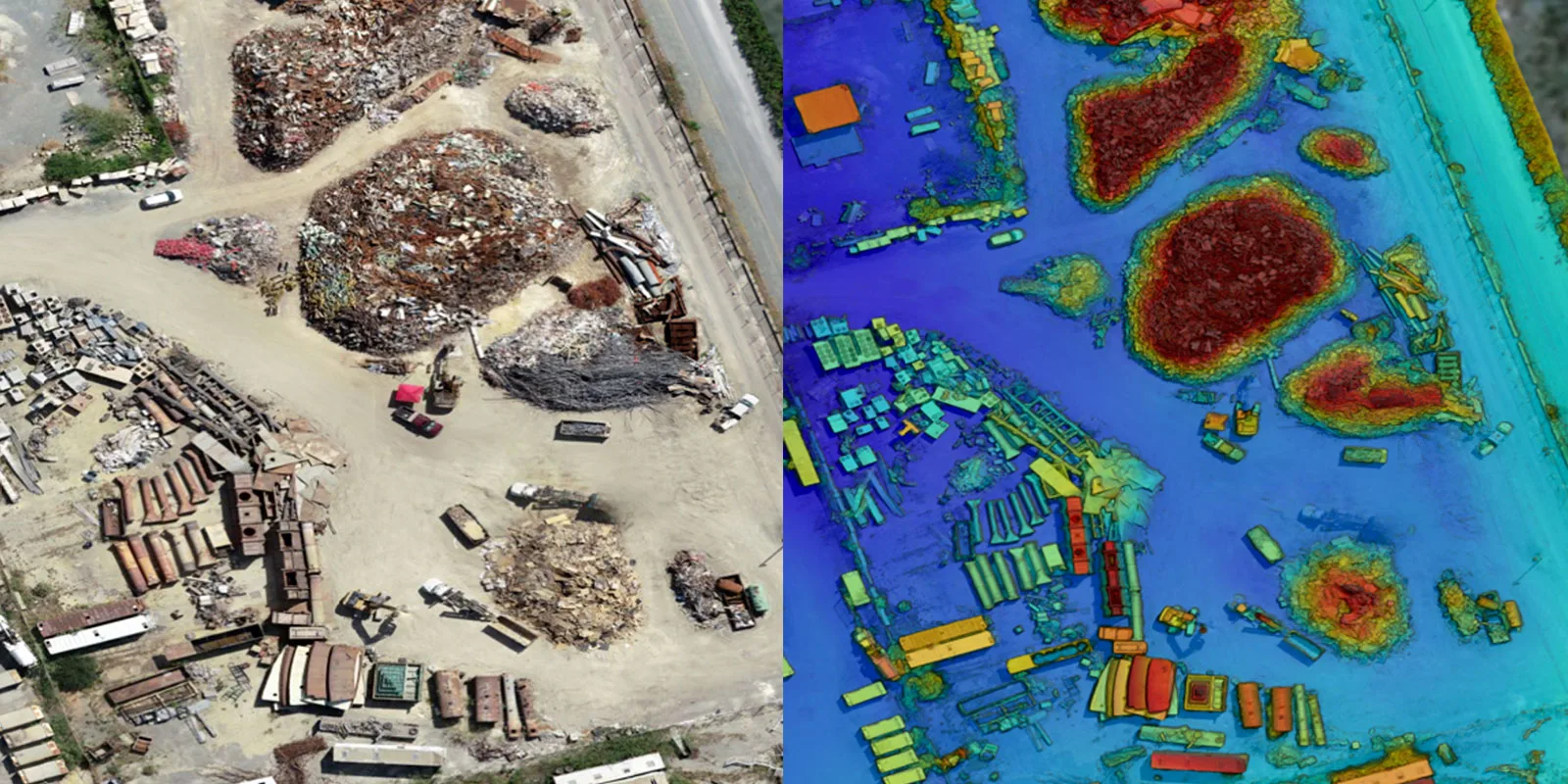
S.T. Hudson can help with your toughest inspection challenges. Our UAV drone surveys offer many benefits, including: