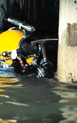

Single-beam hydrographic surveys are good for shallow to mid-water depths. Multibeam hydrographic surveys are good for mid to deep-water depths. A multibeam hydrographic survey can serve two purposes: berth clearance and condition surveys.
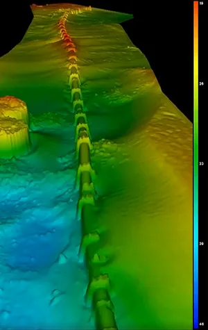
Hydrographic Survey
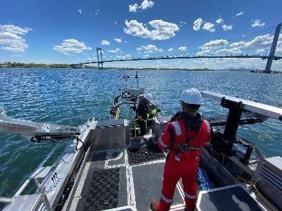
Using acoustic sonar and high resolution GPS technology, our marine surveying company offers hydrographic surveys for...
Geophysical Survey
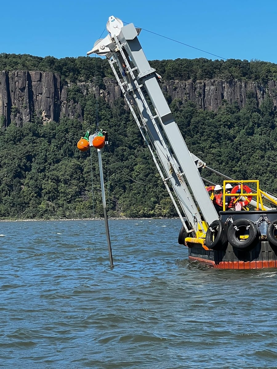
Does your project require site specific geophysical information to aid in hazard detection, UXO clearance, foundation...
Geotechnical Investigations
Does your project require site specific geologic, benthic, or geotechnical information to aid in habitat...
© S.T. Hudson 2026

In Alliance with